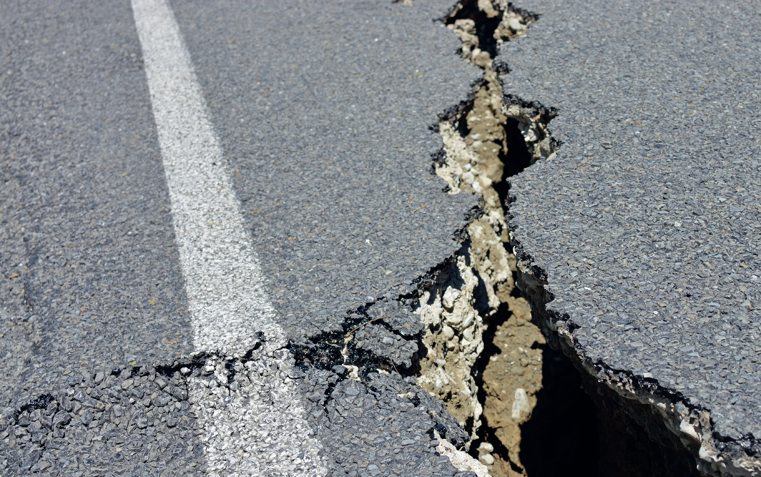
Visit the website www.geonet.org.nz/earthquake and study the map showing recent earthquakes in New Zealand. The list on the left shows how recent and frequent earthquakes have affected people. Few places on New Zealand’s two main islands avoid this natural hazard.
The colour of earthquake locations on the choropleth maps indicates the seismic intensity. Click on the filter box (upper left), and change ‘Weak and above’ to ‘Moderate and above’ and fewer circles will appear on the map, and only those in darker colours. Click on any circle on the map and an information box opens indicating when this earthquake occurred, its depth, strength (magnitude) and the level of any surface shaking.
Your organisation does not have access to this article.
Sign up today to give your students the edge they need to achieve their best grades with subject expertise
Subscribe


