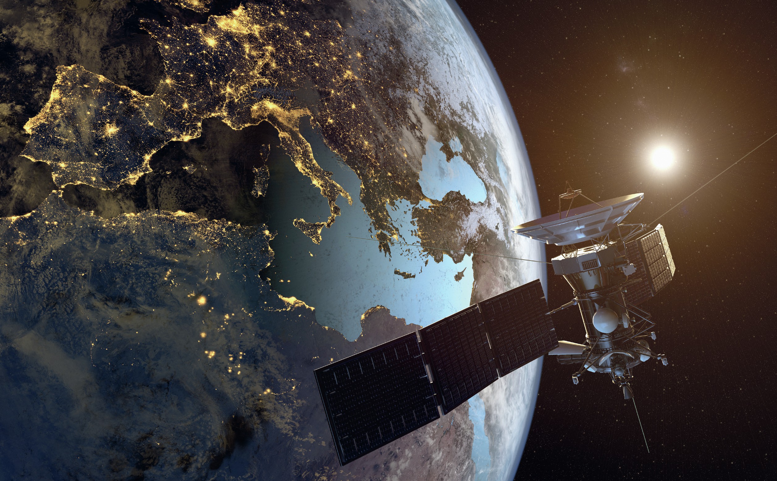
A satellite image or photograph is a picture of the Earth which has been taken from space. As you would expect, these are taken from above and can vary in scale. For example, they could show tropical storms forming above the Earth, lights from urban areas across a continent or they could zoom in and show detailed features such as residential streets and farmland in a particular town or region.
The satellite photograph shown in Figure 1 is very detailed. It covers a large area of London. It is useful to start by looking at the photograph as a whole, and then focus on different sections, considering the colours, shape and location of different areas. Before reading on, what human and physical features can you identify?
Your organisation does not have access to this article.
Sign up today to give your students the edge they need to achieve their best grades with subject expertise
Subscribe


