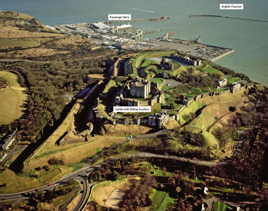
T he photograph is centred on Dover Castle, which overlooks the Eastern Docks of the port. Dover marks the end of the North Downs, a ridge of chalk hills that curves down from northern Kent, meeting the sea along this stretch of coast. The sea has eroded the chalk to form the famous white cliffs of Dover.
Castles like this one at Dover are not an unusual feature of the UK landscape. Following the Norman invasion and Battle of Hastings in 1066, William the Conqueror built this castle on the site of an Iron Age earthworks. Its hilltop location provides clear views out to sea and across the town to the west. William I built this castle to control the area because of its strategic location near to the English Channel.
Your organisation does not have access to this article.
Sign up today to give your students the edge they need to achieve their best grades with subject expertise
Subscribe


