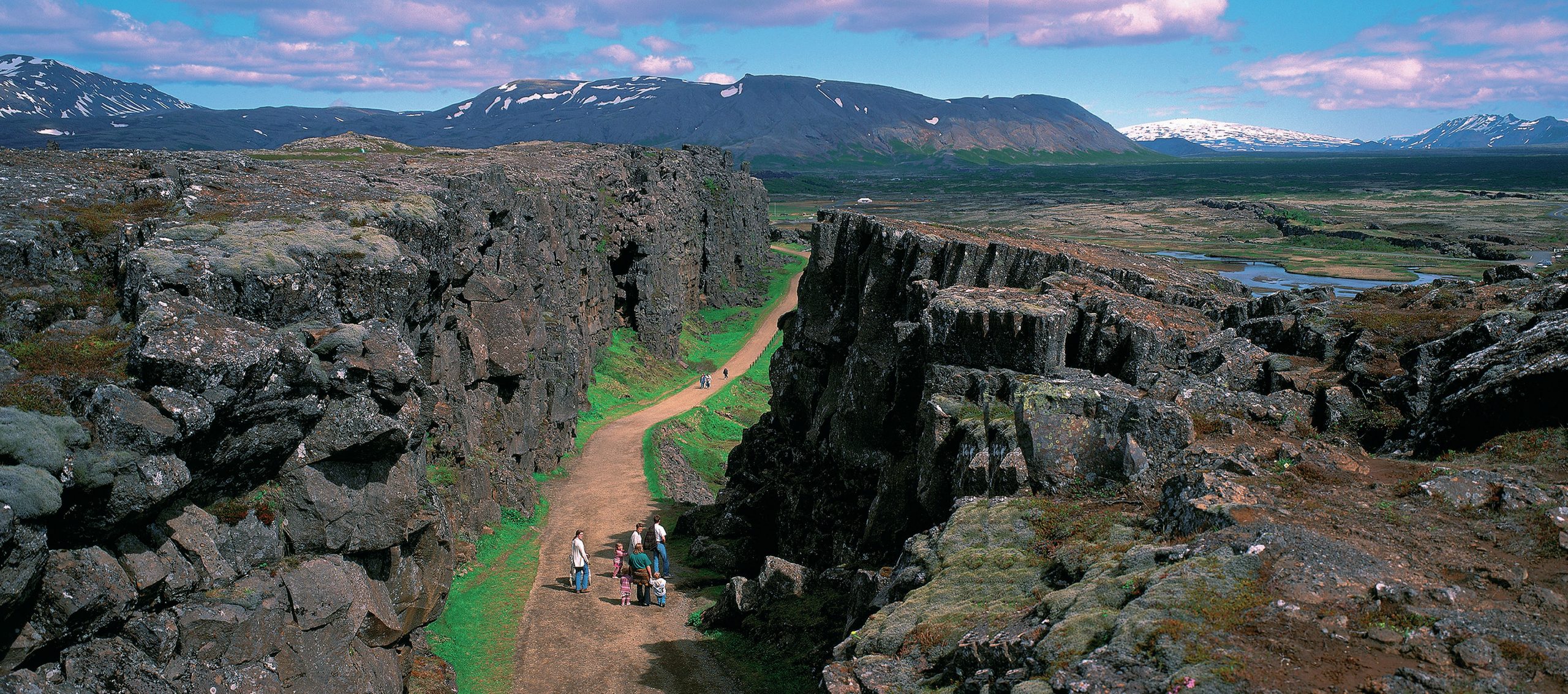
S tretching from north of Iceland southwards to the Antarctic on the floor of the Atlantic Ocean (see back page), the Mid-Atlantic Ridge forms part of the longest mountain range in the world. It lies at the tectonic plate boundary between the North American and Eurasian plates in the North Atlantic, and the South American and African plates in the South Atlantic Ocean. Most of the range is underwater but its highest peaks form isolated islands.
The ridge includes a rift valley which stretches along its length at the boundary between adjacent plates. This is a constructive or divergent plate boundary. The plates are moving apart at a rate of 2.5 cm each year. Molten rocks from the mantle are forced upward from below, spreading out and hardening to form a ridge of new rock (see Figure 1).
Your organisation does not have access to this article.
Sign up today to give your students the edge they need to achieve their best grades with subject expertise
Subscribe


