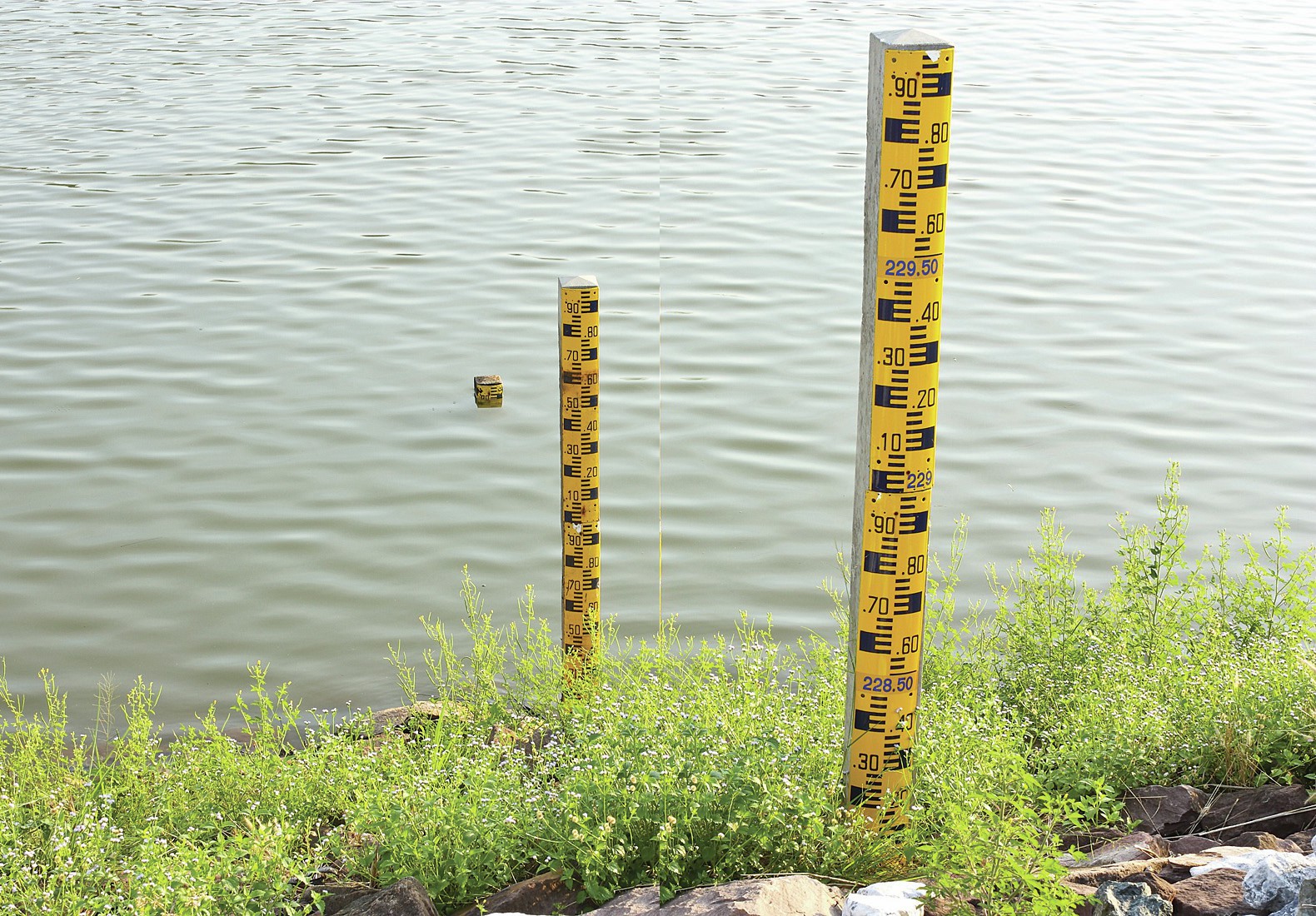
Most of us live within a few kilometres of a river. In a country with uplands and frequent rain, rivers are a major feature. Many of Britain’s big cities have grown up on the banks of large rivers for a range of geographical reasons, so when rivers threaten to flood or have insufficient flow it affects millions of us.
The Environment Agency of England and Wales monitors rivers and coastlines and suggests practical ways of managing variations in flow. Log on to www.environment-agency.gov.uk and from the menu heading ‘At home & leisure’ select . Repeat click on the region of England and Wales that you wish to investigate until your region’s rivers are shown with green circles located on them. Select one or two of these monitoring stations, showing the current river level compared to its typical range. The line graph below this indicates flow variations over the previous 48 hours and will reflect local rainfall just before or during that period.
Your organisation does not have access to this article.
Sign up today to give your students the edge they need to achieve their best grades with subject expertise
Subscribe


