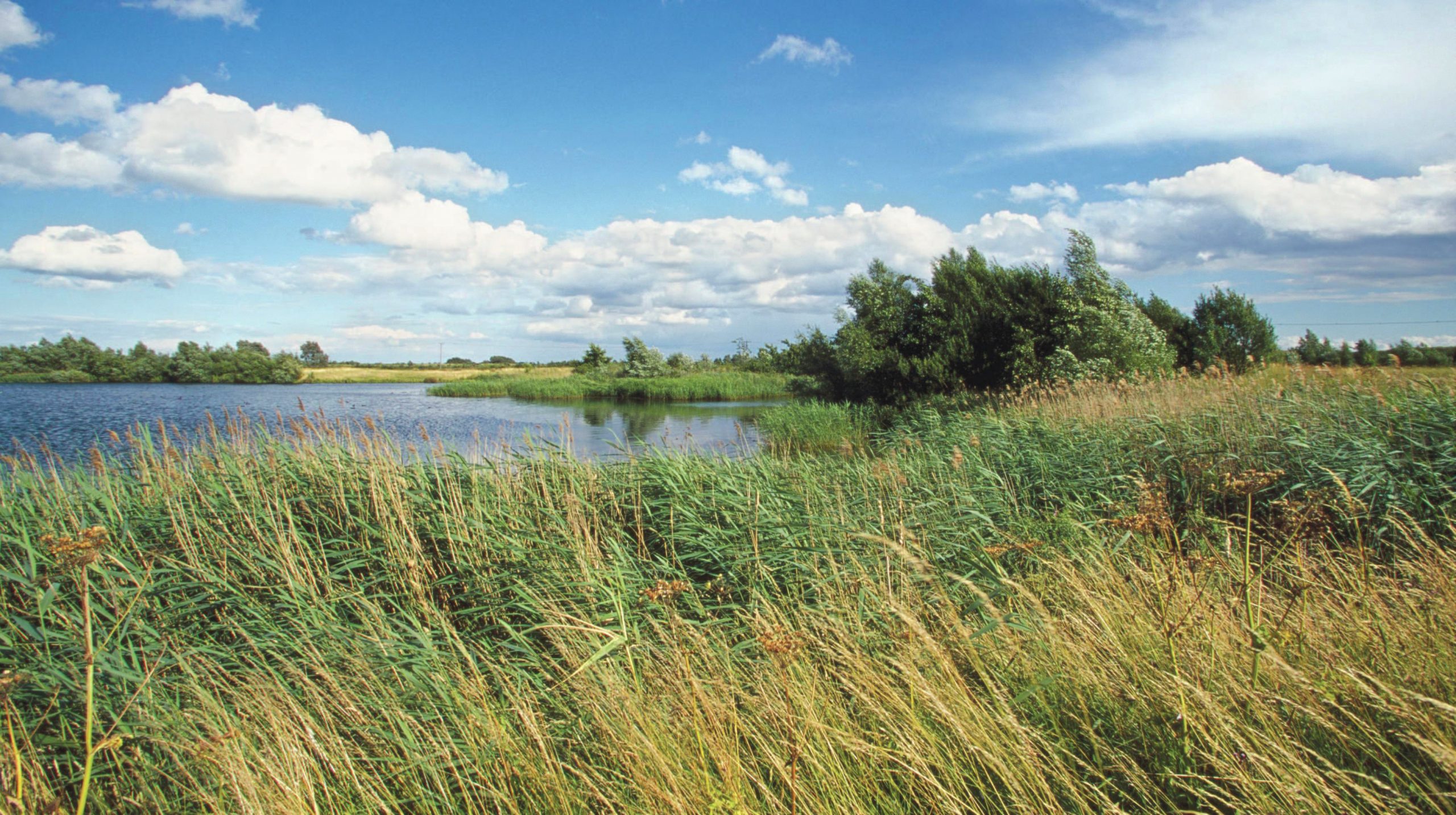
The UK is crowded. England in particular has one of the highest population densities in the world. Space is at a premium and concern for how we use our environment is growing. This means that there needs to be careful scrutiny of every type of land use, especially those that take up a lot of space and are visually obvious, for instance quarries.
Quarries are important sites for the extraction of raw materials such as clay, limestone and gravel. These raw materials are used for many purposes including making bricks, cement and concrete, and demand for such products is enormous. Every year nearly 4 tonnes of minerals like these are used for every person in the UK population. More than 64,000 hectares of land has planning permission for mineral extraction in England alone, and there are currently about 1,300 active quarries.
Your organisation does not have access to this article.
Sign up today to give your students the edge they need to achieve their best grades with subject expertise
Subscribe


