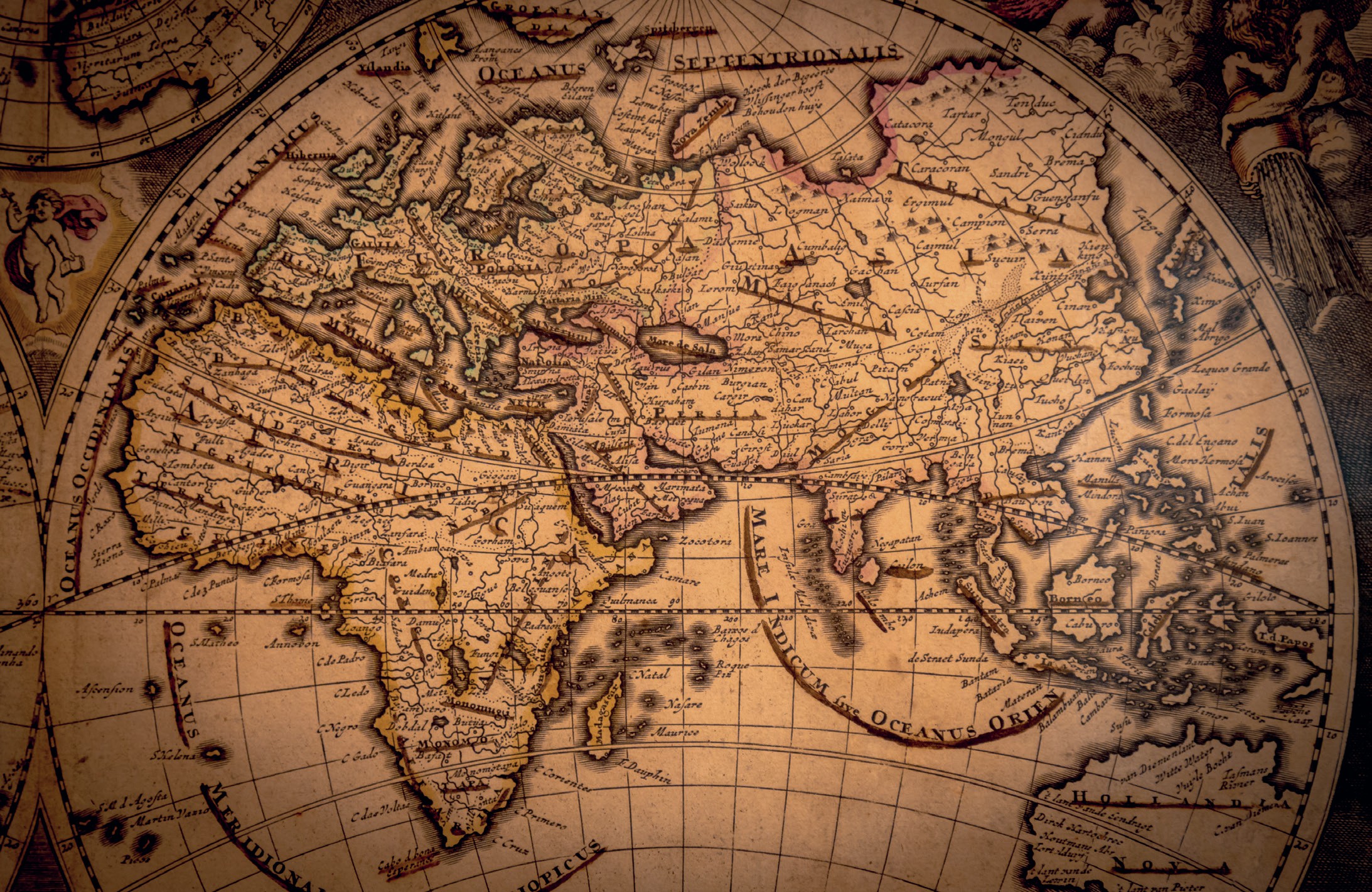
Maps are one of the most important resources for historians. They will almost certainly appear in any textbook to illustrate the fate of nations and empires, or the shifting fortunes of war. But maps can offer so much more than an accurate representation of geography in a handy format.
Maps were (and are) made for a huge variety of reasons. Sometimes they are simply there to aid navigation, or locate new lands in relation to old places. At other times maps are there to inform the public, sponsors, politicians or rulers about the possibilities of land (or sea) for future exploitation. Maps can therefore be ‘read’ just like any other historical text, and it is vitally important for us to understand the context in which a map was created and the audience it was intended to reach.
Your organisation does not have access to this article.
Sign up today to give your students the edge they need to achieve their best grades with subject expertise
Subscribe


