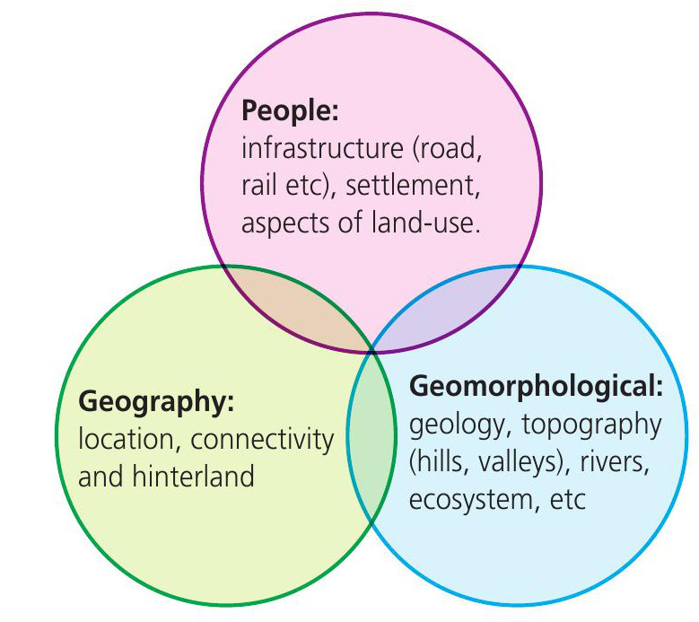
Fieldwork enables us to gain a greater understanding of the people and places that we encounter. Urban areas are popular places for fieldwork because they present a backdrop that is in a continual state of change. Yet the past is ever present in the urban landscape as each place can be regarded as a ‘palimpsest’, where layers of history, geography, culture and politics co-exist (Marvell and Simm 2016).
Landscape change is discoverable through a range of sources, including historic maps and images. These allow us to unravel the story of a landscape in terms of its people, geography, history, culture and architecture. At the heart of this methodology is an approach which attempts to decipher and unravel a geographical narrative through understanding a range of processes, flows and meanings.
Your organisation does not have access to this article.
Sign up today to give your students the edge they need to achieve their best grades with subject expertise
Subscribe


