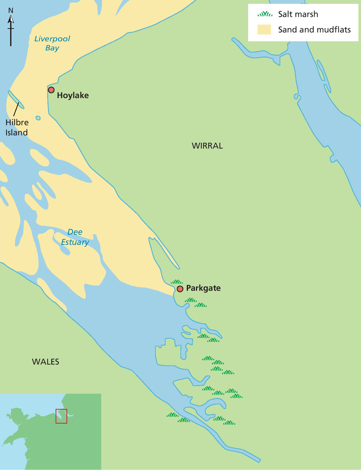
Estuaries are the points where the land, rivers and seas meet. This means they are dynamic landscapes. Change in estuaries occurs at a range of space and timescales, driven by changes in energy regime and changes in sea level. This case study of the Dee Estuary explores controls on coastal change at a range of scales.
Coastal change can be dramatic across quite small spatial scales. Along a 10 km stretch of the west Wirral coastline we can observe very different types of coastal environments, from salt marsh in the south at Parkgate, to a sandy beach with a sand-dune system in the north at Hoylake, with mudflats in between (Figure 1). These represent very different types of habitats, where different ecological processes operate and a range of different plants and animals live. Change at this spatial scale is driven by the different energy regimes in different parts of the estuary.
Your organisation does not have access to this article.
Sign up today to give your students the edge they need to achieve their best grades with subject expertise
Subscribe


