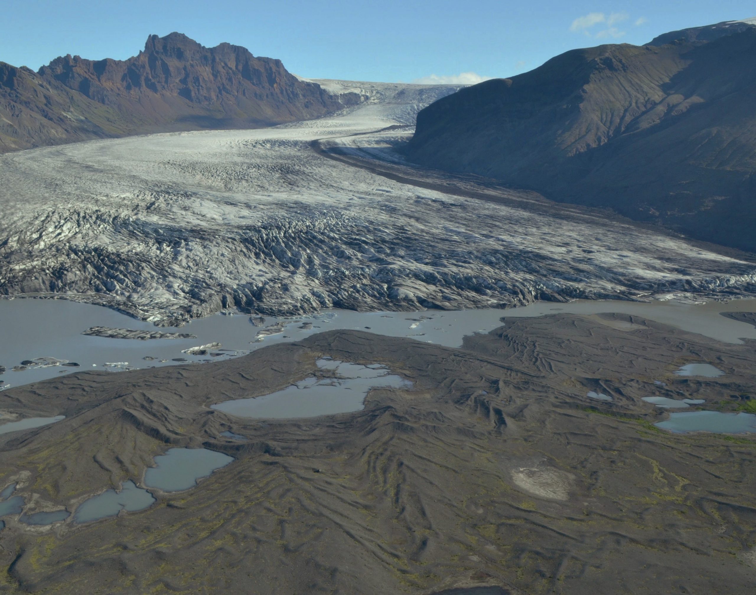
Glacial landsystems are models of various characteristic forms that the glacial system can take. They are areas in which recurring patterns of topography, soils and vegetation reflect the underlying geology, geomorphological processes and climate. Landsystems are often used in the study of glacial geomorphology to classify different types of glaciated terrain (e.g. lowland, plateau, mountain valley, icesheet beds) according to their characteristic sediments and landforms.
Landsystem models link landforms and processes, and so can be used to develop process-form models (Box 1 and Figure 1). Understanding the links between processes and landforms is central to the idea of the landscape system in geography AS and A-level. This article explains how the landsystem approach is a key tool in developing understanding of the functioning of the glacial landscape system.
Your organisation does not have access to this article.
Sign up today to give your students the edge they need to achieve their best grades with subject expertise
Subscribe


