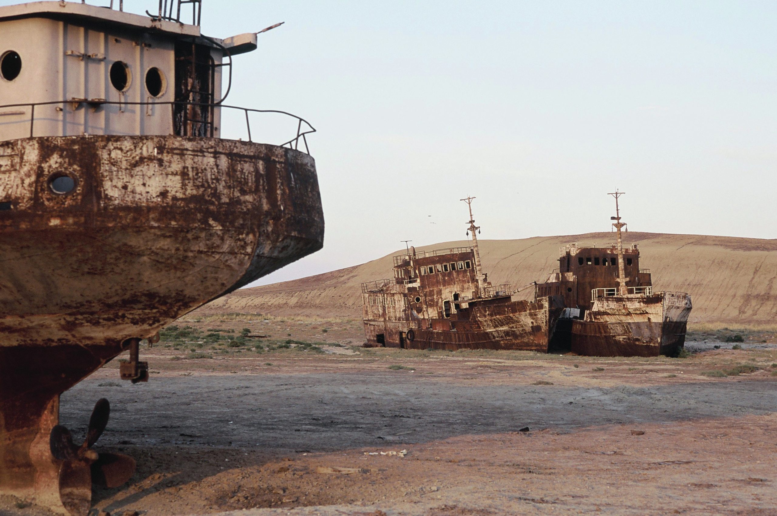
The shrinking of the Aral Sea is one of the most notorious examples of humaninduced environmental degradation anywhere on our planet. During the late twentieth century huge growth of irrigated agriculture in central Asia caused a dramatic decline in water flowing into the Aral. Since the 1960s, the Aral Sea has been rapidly drying up. By 2009, it had fragmented into four separate waterbodies with a combined area that is only 10% of its 1960 extent. This ‘ecotragedy’ has been covered before in GEOGRAPHY REVIEW (see Further reading). Environment Today in this issue is an update on the situation.
The Aral Sea is an inland lake in a desert region of central Asia divided politically between Kazakhstan and Uzbekistan (Figure 1). It receives its water from two major rivers, the Amu Darya and Syr Darya, that rise in the mountains to the south and east. There are no rivers flowing out of the lake. The water level of the Aral Sea therefore depends on the water balance between inflows from these two rivers and net evaporation (evaporation from the lake surface minus precipitation onto it).
Your organisation does not have access to this article.
Sign up today to give your students the edge they need to achieve their best grades with subject expertise
Subscribe


