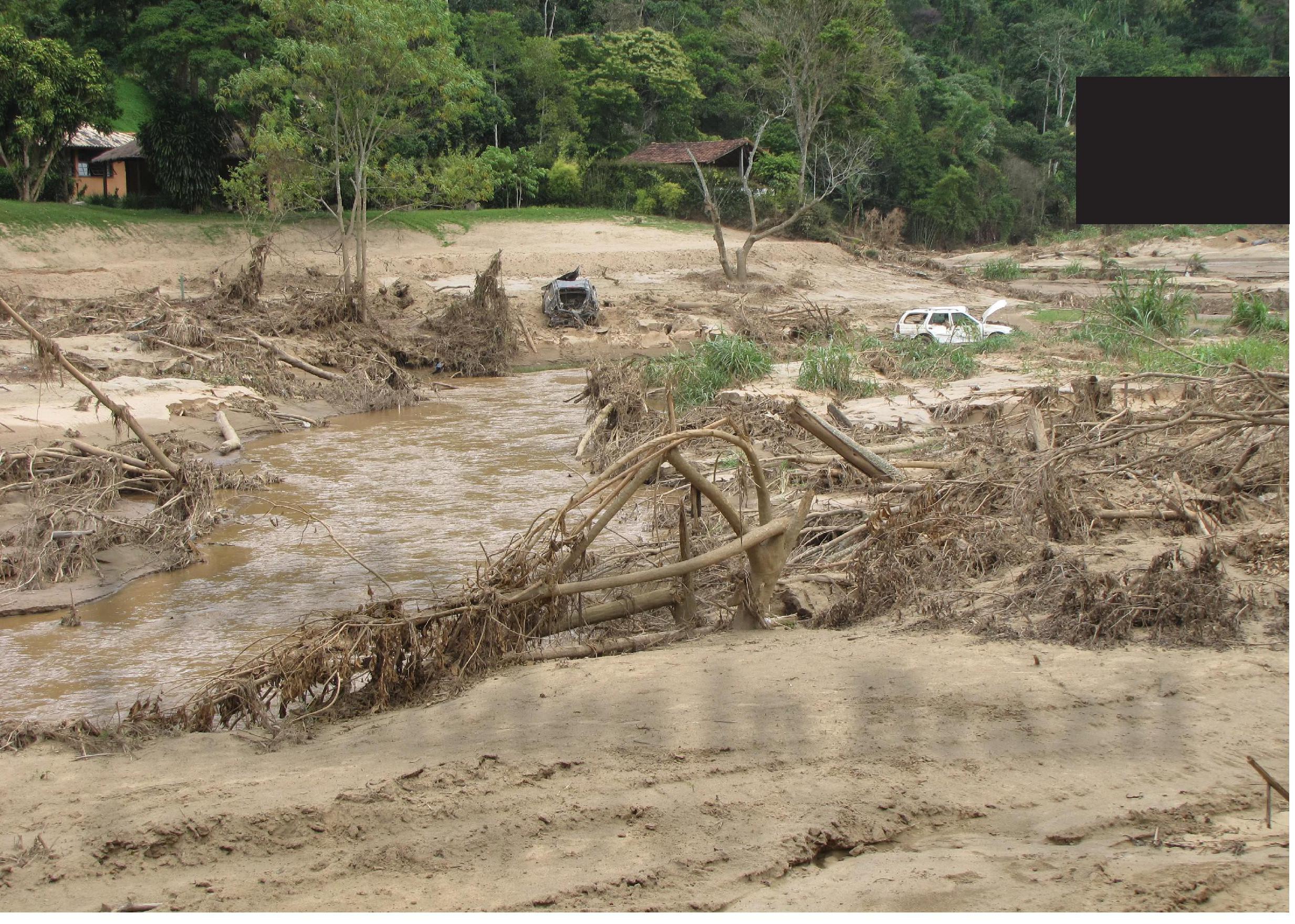
Catastrophic floods and landslides hit the mountainous region of Rio de Janeiro state in January 2011. This article focuses on just part of the area affected: the Cuiabá River in Petrópolis Municipality (Figure 1). This area has steep slopes, shallow soils and heavy thunderstorms in summer, all creating the risk of floods and landslides. A lack of urban planning added to the risk. The local authority had been warned to take preventative action more than a decade earlier, but had done little.
The Cuiabá River Basin is in the Serra do Mar mountain range. Its total area is 37.19 km2. The area remained rural until the 1970s, but today there is less rural activity, and more emphasis on leisure, including small hotels, condominiums and second homes, mainly for people who live in Rio de Janeiro.
Your organisation does not have access to this article.
Sign up today to give your students the edge they need to achieve their best grades with subject expertise
Subscribe


