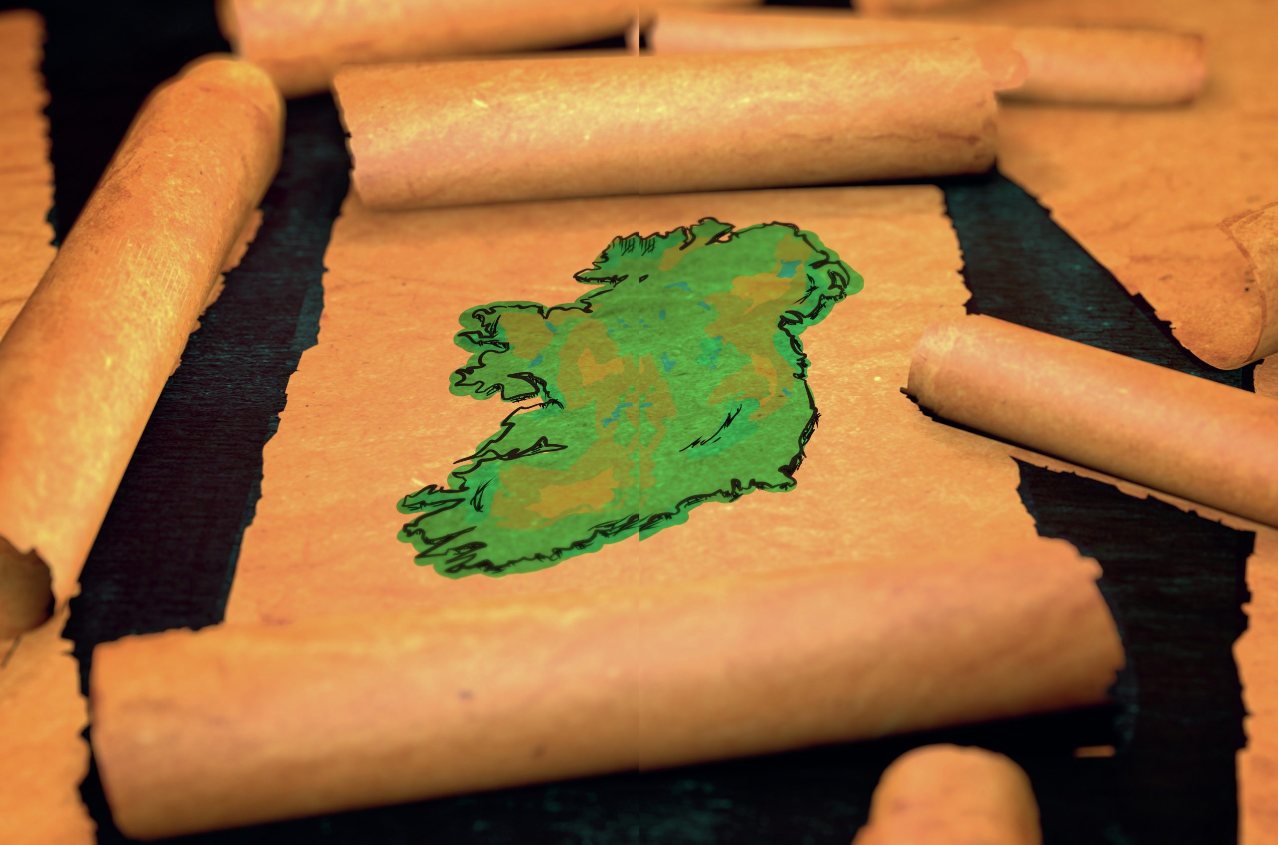
Established in 1791, the Ordnance Survey was intended to map Britain in response to fears of French invasion. By 1824, the needs for maps were civil, not military. Indeed, much of what Captain Lancey says in Act One is historically accurate:
• The mapping was to address inequalities in taxation.
Your organisation does not have access to this article.
Sign up today to give your students the edge they need to achieve their best grades with subject expertise
Subscribe


